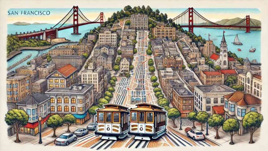
San Francisco Cable Car Map offers an incredible way to explore the city’s most iconic sights while enjoying a piece of history. These historic cable cars not only provide efficient transportation but also give riders a unique experience through San Francisco’s hilly streets, offering stunning views of the Golden Gate Bridge, Alcatraz, and the bustling city. By understanding the San Francisco Cable Car Map, visitors can make the most of their trip, ensuring they stop at the must-see destinations in the most efficient way possible.
Understanding the San Francisco Cable Car System
A Brief History of the Cable Car
San Francisco’s cable car system is the last manually operated cable car system in the world. Established in the late 19th century, it became a symbol of the city’s innovative spirit. The cars were initially built to help residents and visitors navigate the steep hills that define San Francisco’s landscape. Today, they are a vital part of the city’s culture and a tourist favorite.
San Francisco Cable Car Routes
The San Francisco Cable Car Map primarily features three major lines:
- Powell-Mason Line – This route travels between downtown and Fisherman’s Wharf, passing through Chinatown and North Beach. It’s an excellent way to explore the historic and cultural heart of the city.
- Powell-Hyde Line – Known for its scenic views, this line runs from Powell Street to Aquatic Park near Ghirardelli Square, with breathtaking vistas of the Golden Gate Bridge and Alcatraz.
- California Street Line – The quieter of the three, this line stretches from the Financial District to Van Ness Avenue, providing a more peaceful ride through the city.
Each of these routes offers unique experiences, but they all converge in downtown San Francisco, making it easy to switch lines and explore different areas.
How to Use the San Francisco Cable Car Map
Using the San Francisco Cable Car Map is simple. Each route is clearly marked, indicating key stops along the way, such as:
- Union Square – A shopper’s paradise located in the heart of the city.
- Fisherman’s Wharf – Known for its fresh seafood and vibrant street performances.
- Lombard Street – Famous for being the “crookedest street in the world.”
- Nob Hill – A historic area with stunning architecture and grand hotels.
Buying Tickets and Fares
Tickets for the cable car can be purchased at kiosks or through mobile apps, making it convenient for tourists and locals alike. A single ride costs $8, and all-day passes are available, allowing unlimited rides. The San Francisco Cable Car Map also highlights the ticket booths where visitors can easily buy passes.
Best Time to Ride the Cable Car
For the best experience, it’s recommended to avoid peak hours, typically between 8:00 AM to 10:00 AM and 4:00 PM to 7:00 PM, when the cable cars are busiest. Early mornings or later in the evening provide a more relaxed ride, with fewer crowds and an opportunity to enjoy the city’s ambiance.
Navigating San Francisco with the Cable Car Map
Exploring San Francisco’s Top Attractions
With the San Francisco Cable Car Map, tourists can effortlessly visit the city’s most famous attractions. Whether you’re heading to Fisherman’s Wharf for a seafood feast, or to Union Square for high-end shopping, the cable car system ensures you can travel in style. The California Street Line, for example, offers a more peaceful journey, ideal for those wanting to explore the city’s business district or relax in quiet neighborhoods.
Avoiding Common Mistakes
One common mistake travelers make is boarding the cable car without planning. With the San Francisco Cable Car Map, it’s easy to identify the best routes for your journey, avoiding unnecessary detours. It’s also important to remember that the cable car system is a major tourist attraction, so patience is essential during busy times.
Maximizing Your Cable Car Experience
To make the most of your cable car ride, sit on the side of the car with the best views – usually on the right for the Powell-Hyde line. Also, consider purchasing a Muni Passport, which provides unlimited rides on all of San Francisco’s public transit systems, including cable cars.
Key Landmarks to Visit Using the San Francisco Cable Car Map
1. Ghirardelli Square
Located near the Powell-Hyde Line, Ghirardelli Square is a must-visit for chocolate lovers. Enjoy some of the best ice cream and chocolate in the world while taking in stunning waterfront views.
2. The Golden Gate Bridge
While the cable cars don’t take you directly to the Golden Gate Bridge, they provide easy access to locations like Fisherman’s Wharf, where you can catch a bus or ferry to the bridge.
3. Chinatown
San Francisco’s Chinatown is one of the oldest and most vibrant in the U.S. The Powell-Mason Line passes right by, offering an excellent opportunity to explore this cultural gem.
Cable Car Safety Tips
- Hold on Tight: The cable cars can move quickly, especially down the steep hills of San Francisco, so be sure to hold onto the rails.
- Watch for Traffic: The cable cars share the streets with other vehicles, so be mindful when boarding and exiting.
- Stay Seated or Stand in Designated Areas: For your safety, always follow the conductor’s instructions, especially when the car is in motion.
Conclusion
San Francisco Cable Car Map is more than just a transportation tool; it’s a gateway to the city’s most beloved sights and experiences. By understanding the routes and planning your journey, you can enjoy the beauty and history of San Francisco in a way that few other cities can offer. Whether you’re a first-time visitor or a long-time resident, the iconic cable car system never fails to impress.
For More Visit, Viraltimes.co.uk
